Partner: West Coast Environmental Law and ACT-SFU
Location: Greater Vancouver
This project will demonstrate one or more green infrastructure approaches that can improve resilience to rising sea levels in this densely populated and highly visible region within Greater Vancouver. Key outputs will be the implementation of measures that protect or restore natural habitat, and/or mimic natural habitat to accommodate rising sea levels and reduce the impact of storm surges and increased wave energy.
This project will demonstrate how green infrastructure in coastal areas can be used to increase resilience, particularly in areas that are undiked and not suitable for diking or other types of hard protection.
Project update (September 2014)
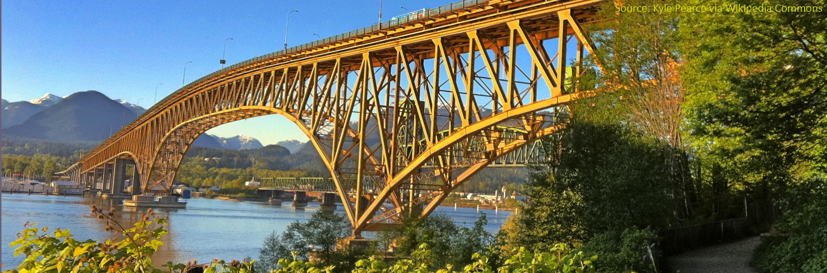
Location selected : the mouth of the Seymour River Estuary where it meets the sea under North Vancouver’s Second Narrows Bridge, which leads to the Lower Mainland. The estuary has been degraded by heavy industry and other development causing altered water flows, losses of gravel and woody debris, and the growth of invasive plant species.
Restoration will not only benefit coastal resilience to rising seas and storm surge, but also the health of salmon and other species that inhabit the area. The primary approach will be restoration of a coastal wetland that has been invaded by knotgrass and other invasive species.